Iter Boreale (By Way of the North) – A Roman Road?

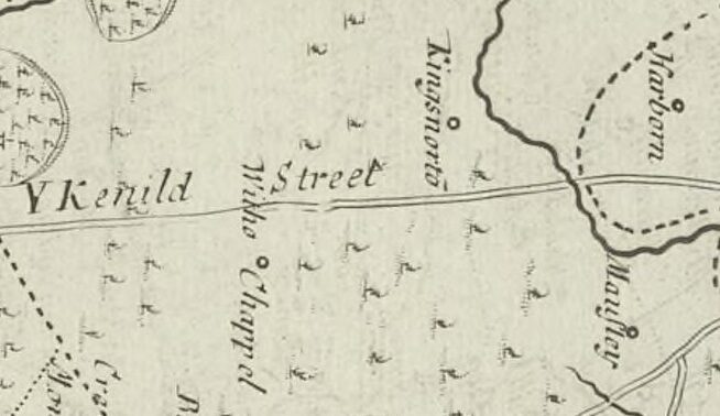
Small section of the 1695 Map of Warwickshire by Robert Morden. The top is east. See it here.

The old name for Stirchley was Strutley Street. The “ley” part usually refers to a clearing and the “Strut” part usually relates to a street, and a Roman street at that, so Stirchley was a clearing by a road. Why Stirchley was named twice though – clearing-by-the-street street – is unknown. Maybe it was to reinforce that there was a road here, for anyone who hadn’t noticed. And there definitely was, and still is, a very straight road which leads from …
Continue Reading →

Maps, Maps, Maps!

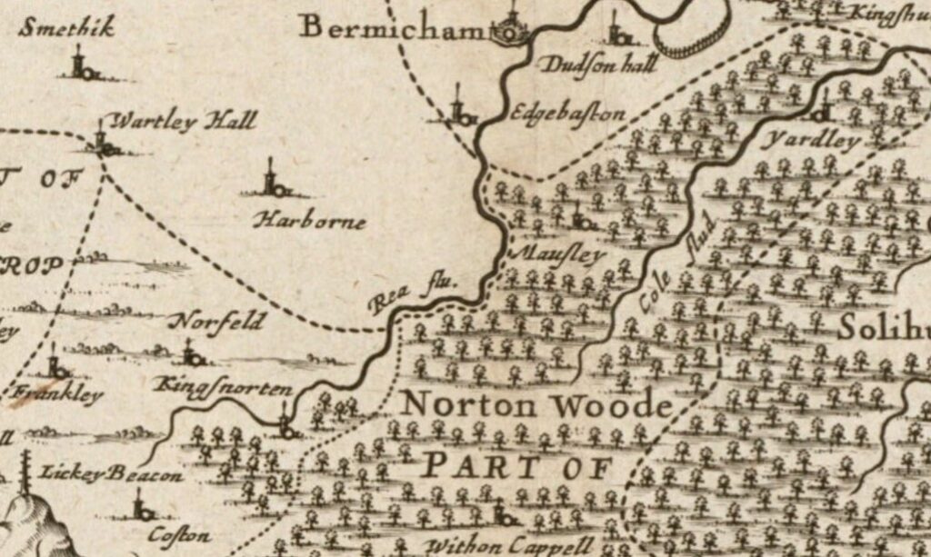
Map 1. Section of the Map of Warwickshire, made in about 1646 by Jan Janssen (see original map).

Stirchley is only a relatively recent addition to any map of the area. The earliest known map showing Stirchley as a distinct place is from 1814 (see below), where it’s spelt “Straitland Street”, and there was (and is) an incredibly straight piece of road which leads from the settlement of “Straitland Street” down to Breedon Cross. This road is thought, with some debate, to be a section of the Roman road of Icknield or Ryknield Street.

An early …

Continue Reading →

Local Interest: Rowheath & Rowheath Farm

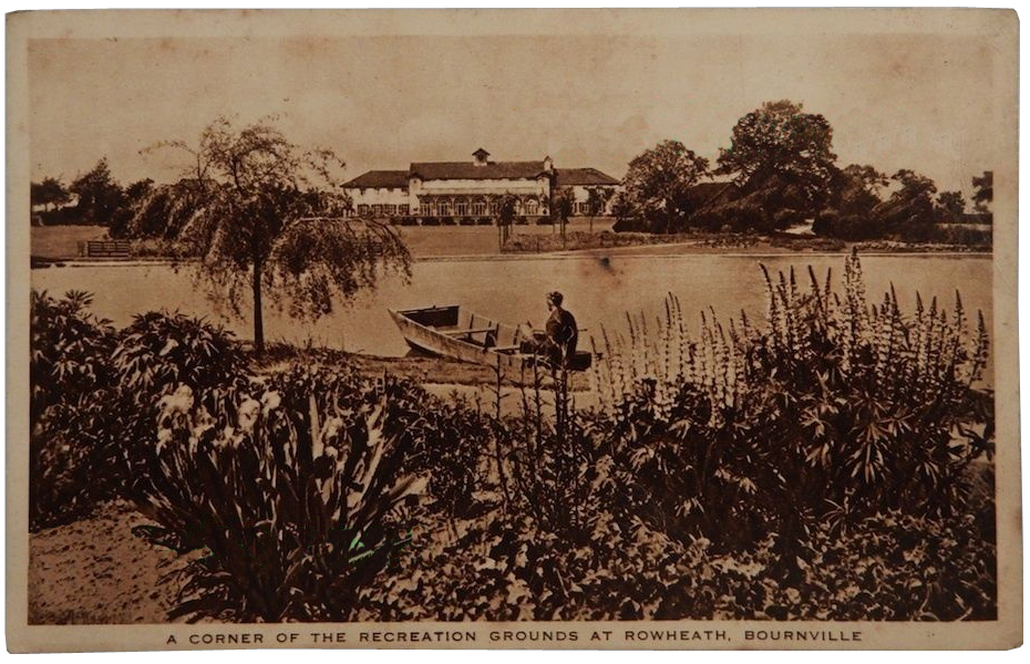
An undated picture postcard of ‘A CORNER OF THE RECREATION GROUNDS
AT ROWHEATH, BOURNVILLE’. Probably dating from the 1930s or 1940s.

Today, Rowheath is a community-based organisation set around Rowheath Pavilion Church. At the centre is the Rowheath Pavilion building surrounded by green space and sports facilities, opened in July 1924. Before the area around became built up, Rowheath was a piece of farmland between Rowheath Farm, the farm building situated on Oak Farm Road, and Haygreen Farm, on Haygreen Lane. The Rowheath land had an old public footway running north-east through it, which later became Heath Road, and another …

Continue Reading →