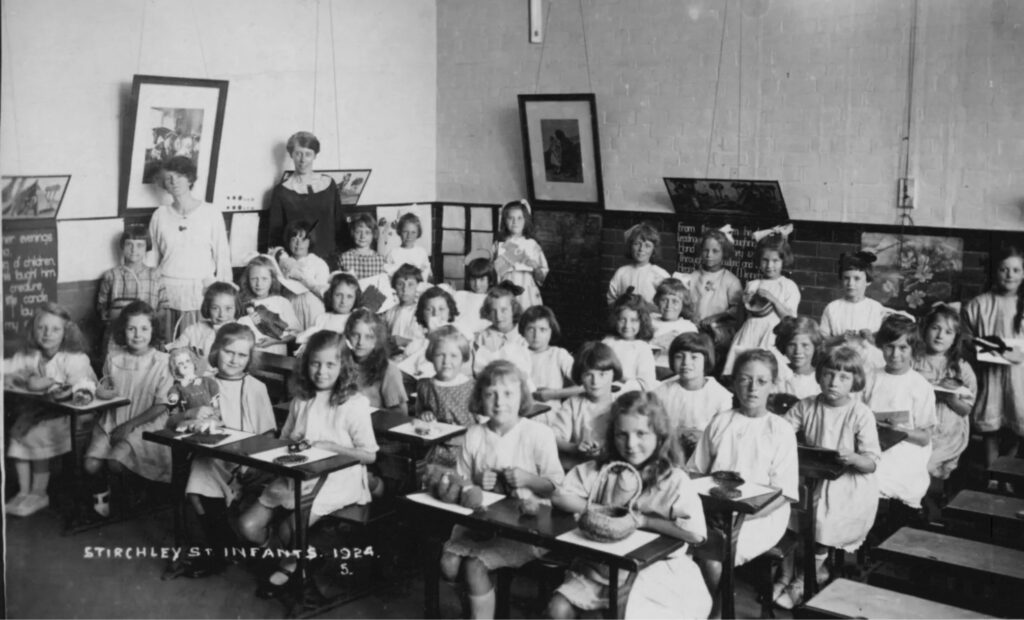
We’ll be adding a photo album of images related to Stirchley School here. If you have any photographs that you would like to add, please email: foslvolunteers@gmail.com
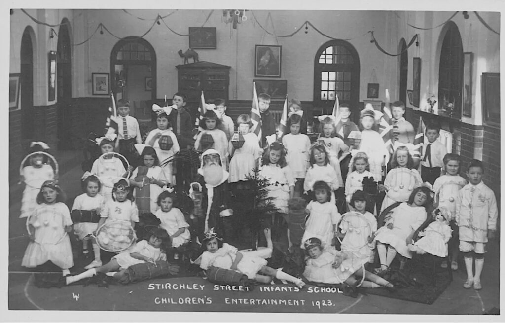
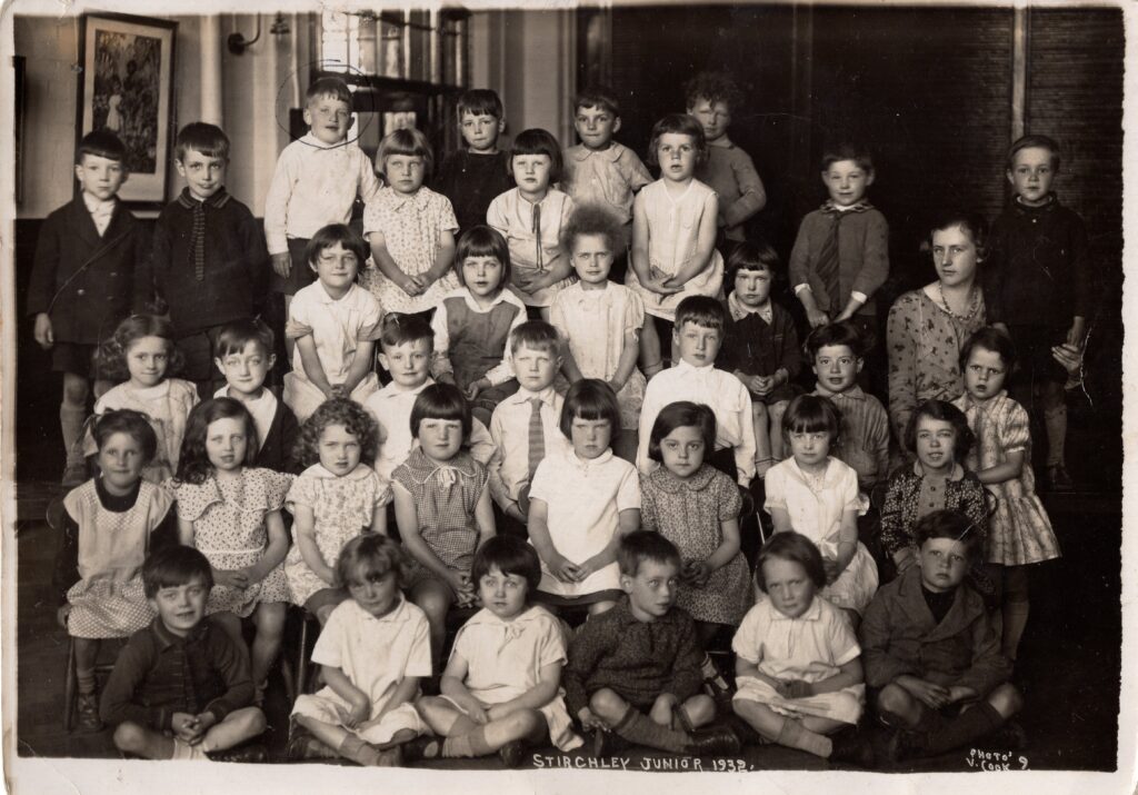
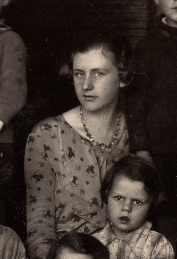
Links
- More photos at: https://www.stirchley.co.uk/Schools.html
We’ll be adding a photo album of images related to Stirchley School here. If you have any photographs that you would like to add, please email: foslvolunteers@gmail.com
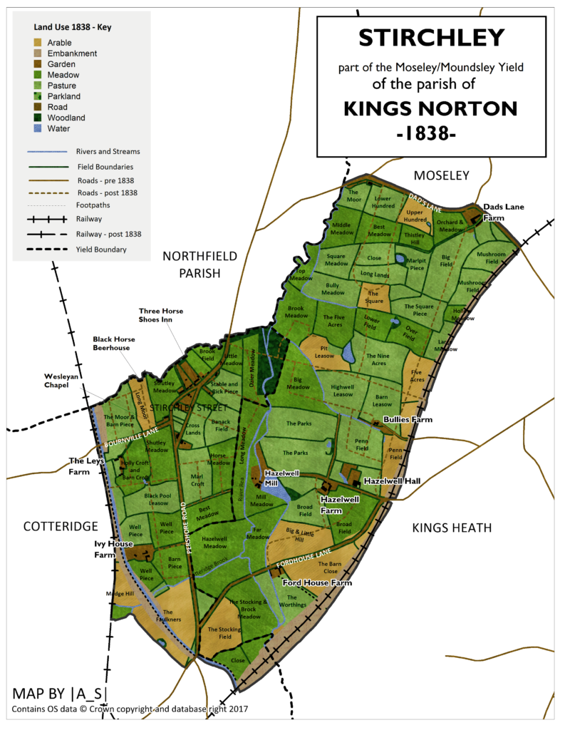
This wonderful map, above, was designed by Andy Underscore using the 1838 tithe maps for Stirchley (used with permission – see Andy’s original article here).
Stirchley was at this time part of Worcestershire, and part of the parish of Kings Norton, and Kings Heath, Cotteridge and Moseley were also part of Kings Norton parish. Stirchley also bordered with Northfield parish, and the border meandered along the same route as the Bourn Brook and then the Rea after the Bourn flowed into it. The tithe map named all the fields, pastures and meadows, which Andy transcribed. Stirchley Library is situated …
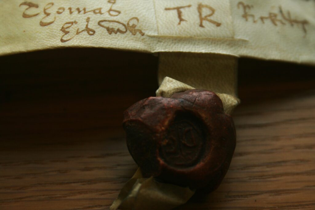
The answer is that no-one really knows, but the earliest known mention of the area is on 1 May 1658. This was in an indenture written in ink on vellum and signed by three people, and with a red seal attached for each. In it, ‘Stretley Streete’ is noted.
The indenture was concerning a ‘garden, orchard and backside [yard at the back of the house] and one little close or meadow’ which was in the tenure of Katherine Compton, a spinster, but ownership of the land was changing (see below). This is definitely the right ‘area because ‘Stretley Streete’ was …
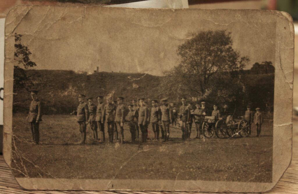
In 1989 a local history project was conducted in Stirchley where people provided oral histories and donated photographs which are still deposited in the library. Not all of it is organised or marked with where it came from. The image above includes a note that is was taken by the Savoy Picture House near Breedon (Breedon Cross) in 1916. The Savoy cinema was at 1649-1651 Pershore Road and was, initially, a silent movie theatre which opened in about 1923 – so after this picture was taken. The note also says that this was the Kings Royal Rifle Cadet Corps, and …
The first in a series of posts which will follow the route of the Roman road (written about here) which likely cut through the area between Lifford and Stirchley Library. Lifford was likely the spot where the Roman road crossed the River Rea.
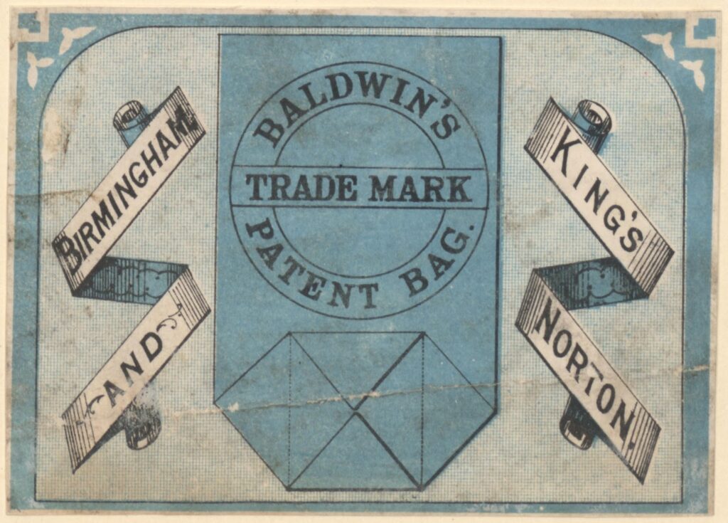
James Baldwin & Sons were “paper makers, letterpress and lithographic printers” at Sherbourne Mill on Morville Street in Birmingham. They also had paper mills in Kings Norton on Lifford Lane, which was near to where James Baldwin (1801-1871) made his home at Breedon House on (what is now) the Pershore Road.[1] This house was demolished and …