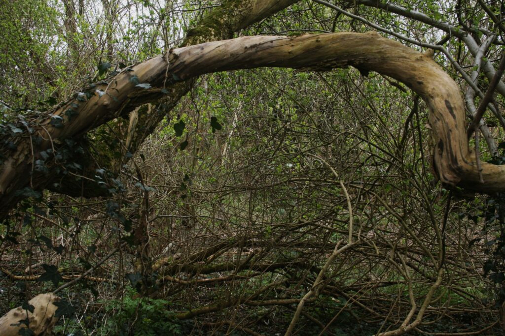
The Hazel Well (as explored in a previous post, here) was possibly a natural spring rising in Stirchley, where Hazelwell Park is now. Along the route of the River Rea through Stirchley and nearby, there are several brooks. Some are well-known, such as two confusingly named Bourn Brook and the Bourn. These are longer brooks which still survive today. The Bourn Brook meets the Rea near Cannon Hill Park, and the Bourn joins it a little north of Cartland Road.
There were other lesser known brooks, such as Cotteridge Brook and Breedon Brook, the latter seemingly now gone from the landscape.
There have also been several tiny brooks which rose from natural springs within the bounds of Stirchley and its neighbours, and gently bubbled towards the Rea on their short journeys. Many were so short their is no record that they ever had a name. One rose up near Bullies Farm, and another amongst the fields of what is now Ten Acres.
The one in Ten Acres survives.
The area was once farmland, but is now overgrown as the route beside the Rea is left wild along the tamer cycle path following the river. Old maps suggest that the brook arose at the adjoining corners of four fields, these being Lower Field, Bully Meadow, The Five Acres, and The Square. It flowed westward to Brook Meadow, and then turned almost a right angle northward to Top Meadow and Square Meadow until it met the Rea at the end of its exceptionally short journey.
Until evidence is found of its name let’s call it Corner Brook, because of its unusual 90ᵒ turn.
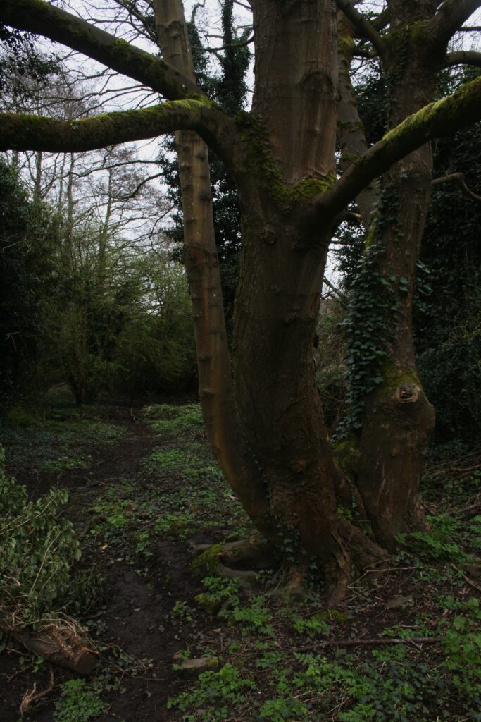
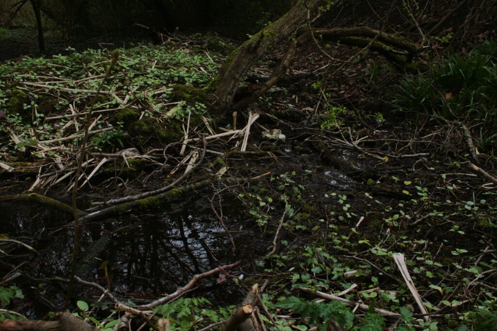
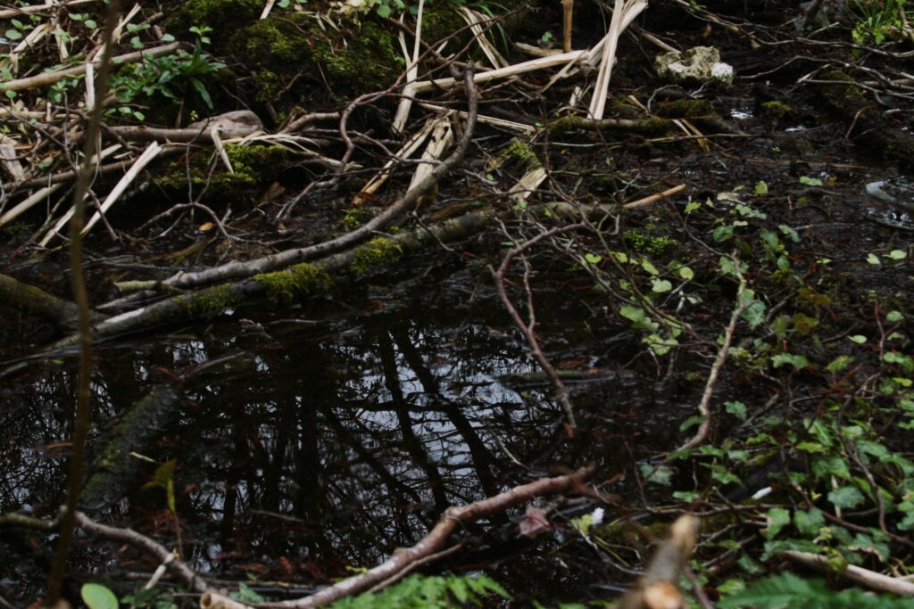
To find the Corner Brook, there is a gently trodden path leading away from the river, one guarded by a triplet tree. Following the path, you find yourself at the brook, seemingly still water, but gently murmuring when inspected closely. On following it back, you arrive at a pool of water, whispering more than murmuring, and then the “corner” of Corner Brook, which bends into nothing more than a mud-filled trench. The brook is bathed only in dim light in the surrounding wild growth.
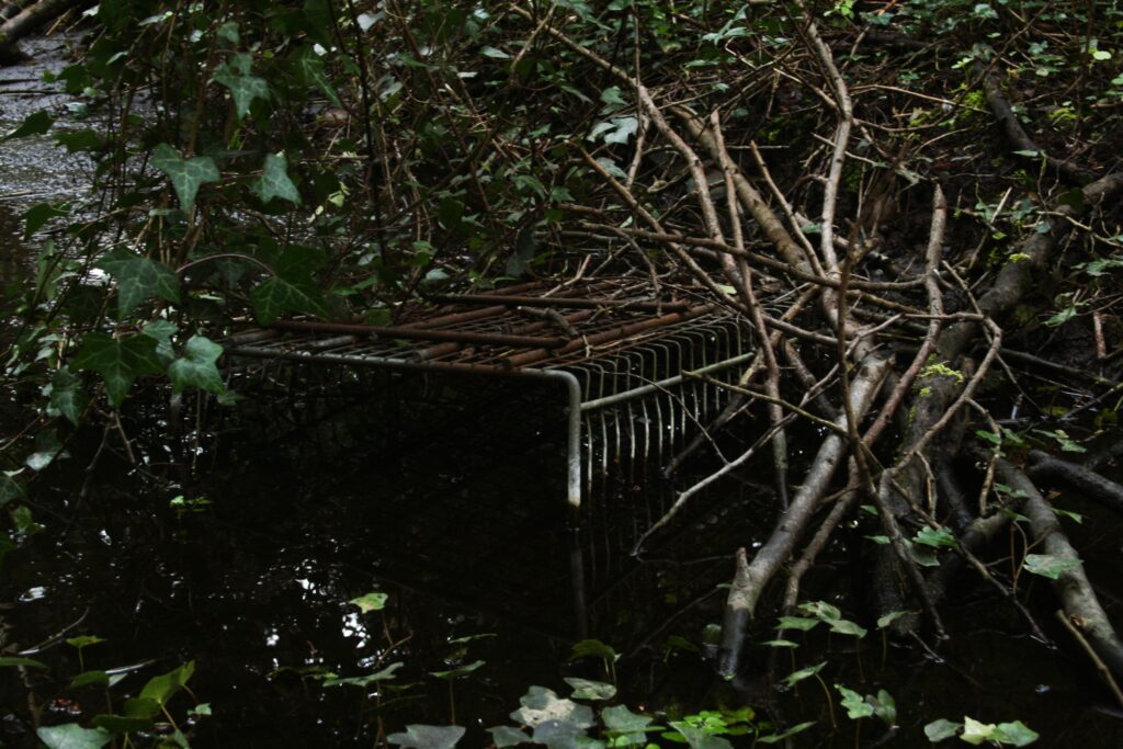
Photographs by Jen Dixon.