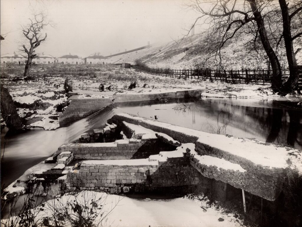
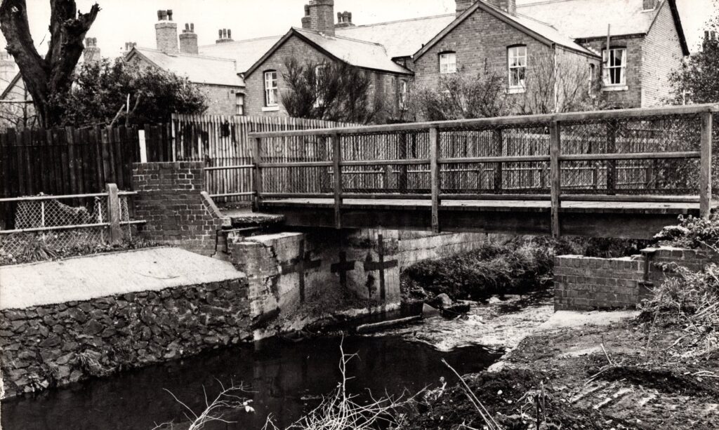
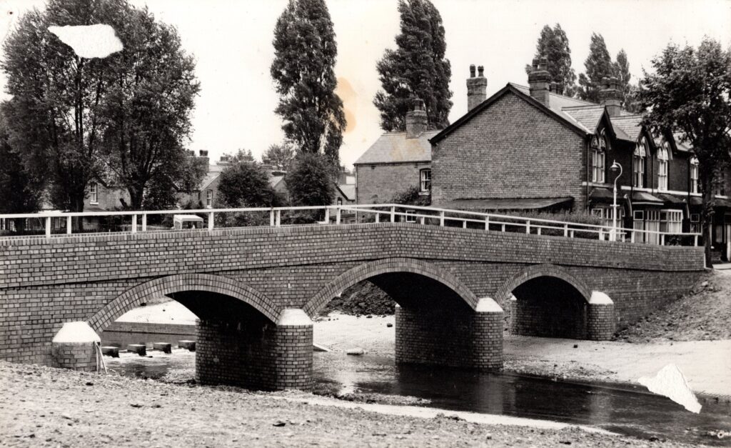
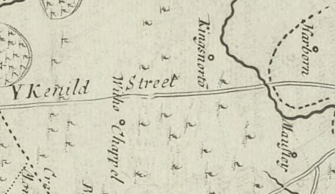
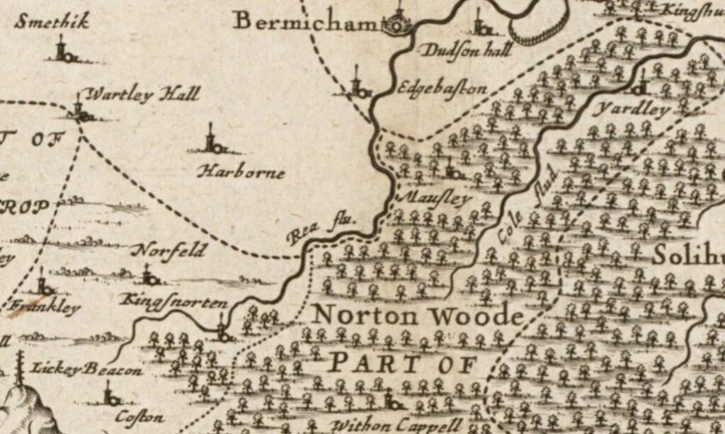
The first in a series of posts which will follow the route of the Roman road (written about here) which likely cut through the area between Lifford and Stirchley Library. Lifford was likely the spot where the Roman road crossed the River Rea.
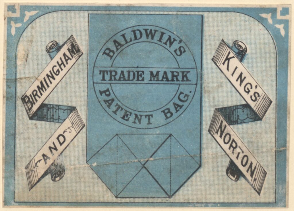
James Baldwin & Sons were “paper makers, letterpress and lithographic printers” at Sherbourne Mill on Morville Street in Birmingham. They also had paper mills in Kings Norton on Lifford Lane, which was near to where James Baldwin (1801-1871) made his home at Breedon House on (what is now) the Pershore Road.[1] This house was demolished and …