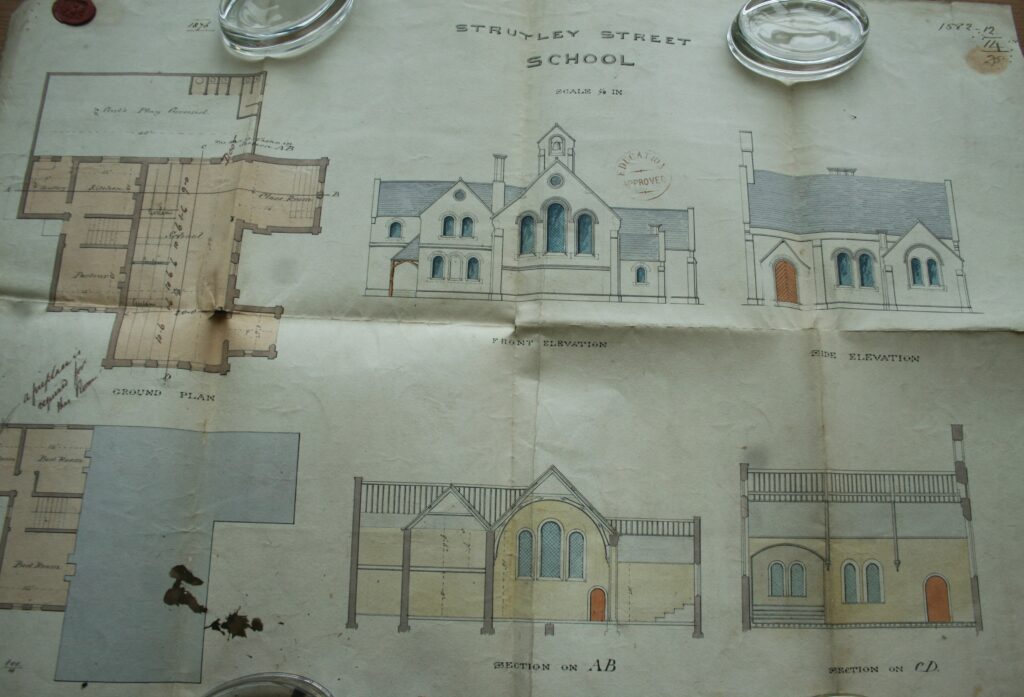
The year is 1876 and the architect Charles Wyatt Orford completes his plans for the new Strutely Street School. Edits were made the next year, and the school opened to 215 pupils in 1879. This replaced the older Strutley Street Branch National School which had opened in 1863, which Orford had also designed.[1]
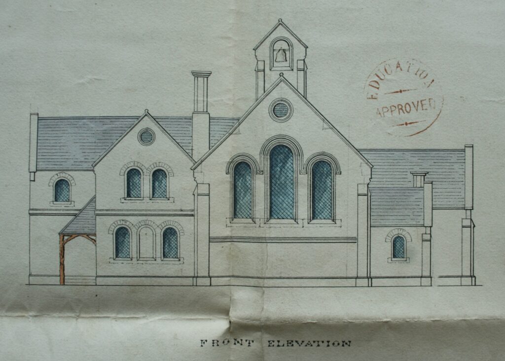
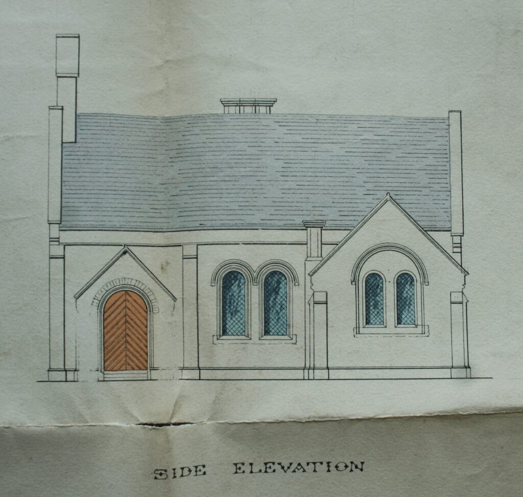
The school has been altered and extended multiple times since, and I’m not sure how much, if any, of the original survives.
Attached to the school was the house for the teacher attached (see the parlour, kitchen and scullery in the plans, below, and three bedrooms on …