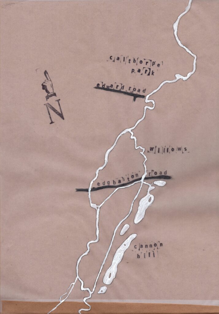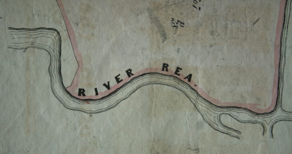
The Rea is a well-known companion to Stirchley, flowing gently to the east, tucked away in the parks and behind houses.
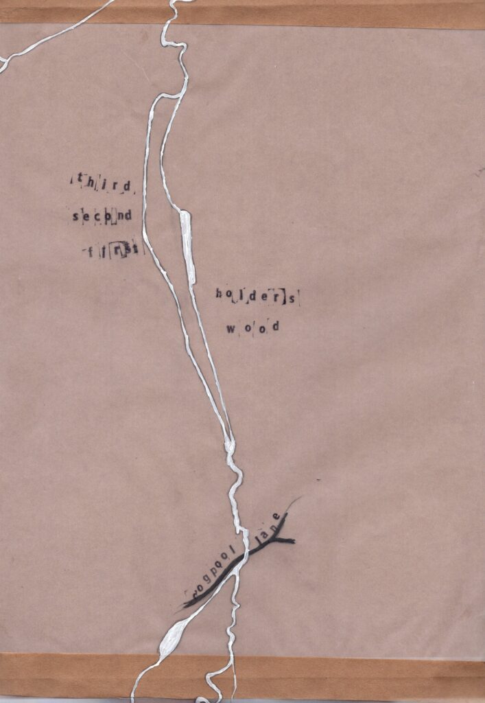
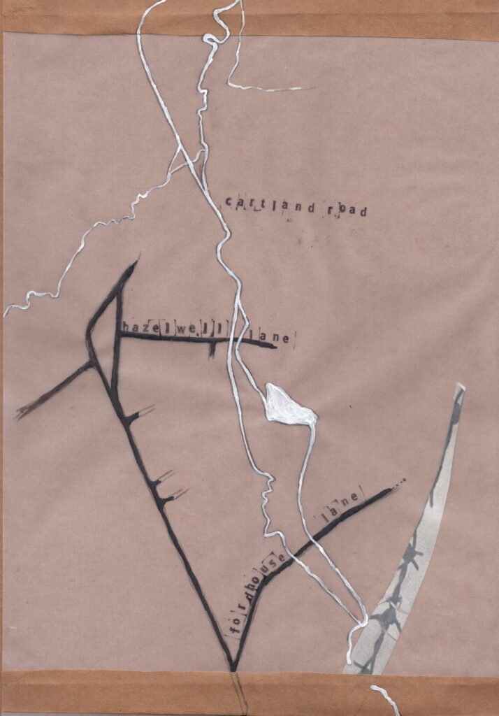
A couple of the volunteers have been ordering and cataloguing some of the photographs of the Rea which are kept in the library (see some of them here). As part of this we started to work out where some of the more local ones had been taken and drew a rough map….. which has now become a slightly less rough map.
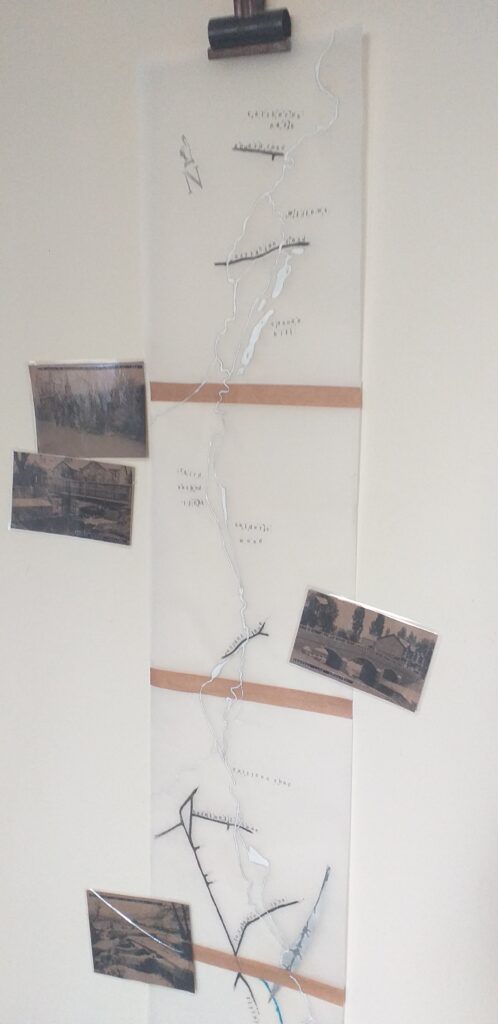
Using Ordinance Survey maps from the 1880s and 1890s, we traced the meandering Rea and some of the local landmarks and roads which crossed it. From north to south these were Edgbaston Road, Dogpool Lane, Hazelwell Lane, Fordhouse Lane, Lifford Lane, Pershore Road South, and Westhill Road.

We just need to find somewhere in the library to hang it! And then we’ll add images of the photographs held in the library.
We’d love to see any photographs of the Rea that you have, too. If you have any, please either send them to or contact: foslvolunteers@gmail.com
All four sections of the map are seen below: