A First World War Childhood in Stirchley

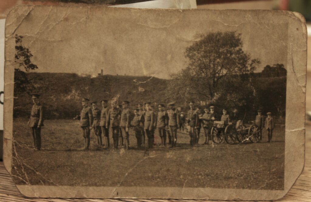
In 1989 a local history project was conducted in Stirchley where people provided oral histories and donated photographs which are still deposited in the library. Not all of it is organised or marked with where it came from. The image above includes a note that is was taken by the Savoy Picture House near Breedon (Breedon Cross) in 1916. The Savoy cinema was at 1649-1651 Pershore Road and was, initially, a silent movie theatre which opened in about 1923 – so after this picture was taken. The note also says that this was the Kings Royal Rifle Cadet Corps, and …
Continue Reading →

Local Industries: Baldwin’s Paper Mill in Lifford

The first in a series of posts which will follow the route of the Roman road (written about here) which likely cut through the area between Lifford and Stirchley Library. Lifford was likely the spot where the Roman road crossed the River Rea.

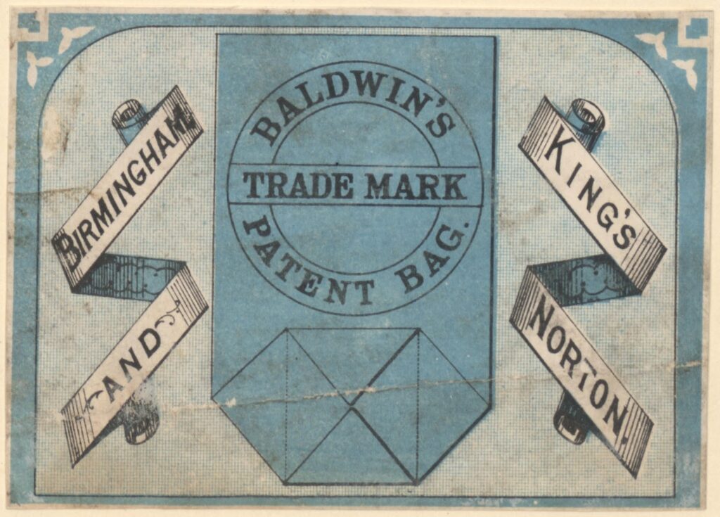
James Baldwin & Sons were “paper makers, letterpress and lithographic printers” at Sherbourne Mill on Morville Street in Birmingham. They also had paper mills in Kings Norton on Lifford Lane, which was near to where James Baldwin (1801-1871) made his home at Breedon House on (what is now) the Pershore Road.[1] This house was demolished and …

Continue Reading →

Photo Gallery of the River Rea (Part One)

Captioned on the reverse “Fordhouse Lane 28 Feb 1929”.

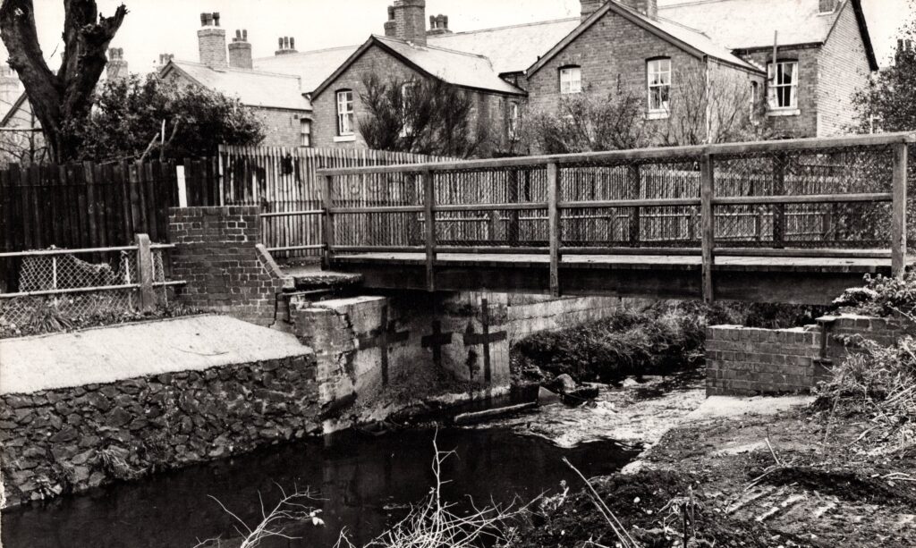
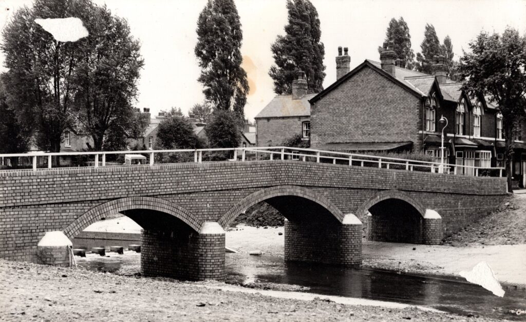
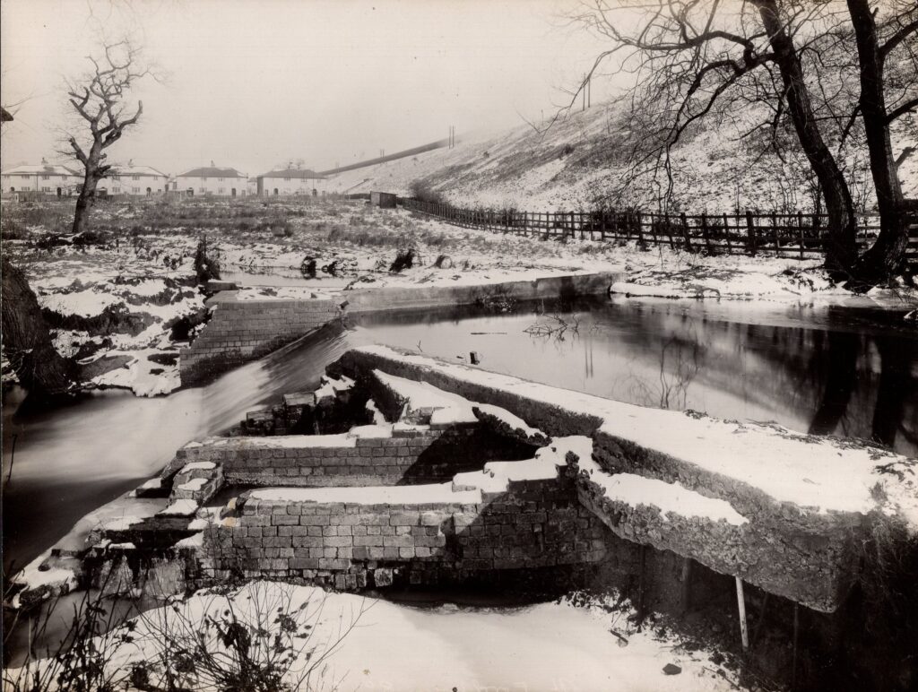
Several photographs of the River Rea were deposited at Stirchley Library several years ago. Many are mounted and possibly came from an exhibition put on by the “Engineers Dept.” of Birmingham City Council. Many have no description of which part of the River Rea that they depict, or the year that they were taken, so if anyone has any information, please contact Friends of Stirchley Library.

Captioned on the reverse “Bridge Repaired by New Bridge – Rea at Second Avenue” and stamped “ENGINEERS DEPT”. Undated.
Captioned on the reverse “R Rea

Continue Reading →

Iter Boreale (By Way of the North) – A Roman Road?

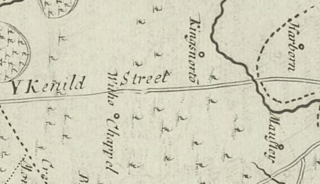
Small section of the 1695 Map of Warwickshire by Robert Morden. The top is east. See it here.

The old name for Stirchley was Strutley Street. The “ley” part usually refers to a clearing and the “Strut” part usually relates to a street, and a Roman street at that, so Stirchley was a clearing by a road. Why Stirchley was named twice though – clearing-by-the-street street – is unknown. Maybe it was to reinforce that there was a road here, for anyone who hadn’t noticed. And there definitely was, and still is, a very straight road which leads from …

Continue Reading →

Maps, Maps, Maps!

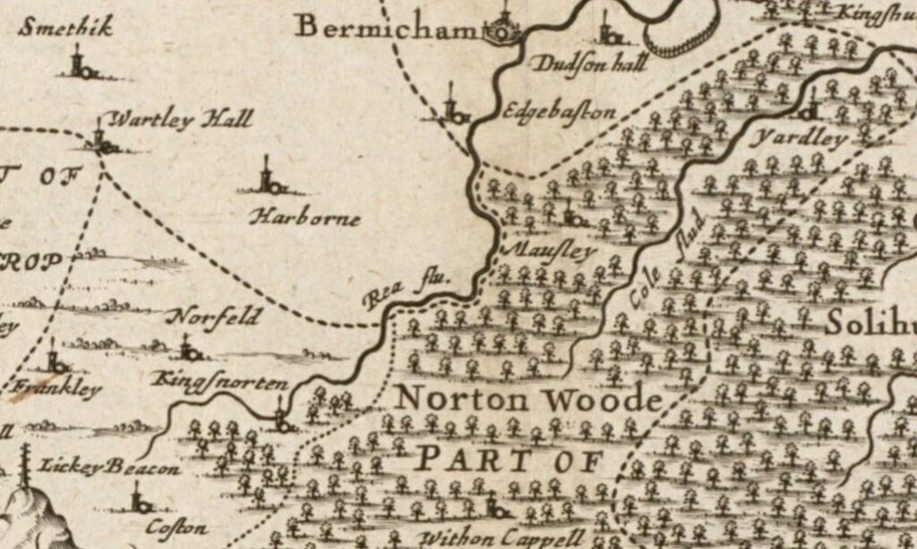
Map 1. Section of the Map of Warwickshire, made in about 1646 by Jan Janssen (see original map).

Stirchley is only a relatively recent addition to any map of the area. The earliest known map showing Stirchley as a distinct place is from 1814 (see below), where it’s spelt “Straitland Street”, and there was (and is) an incredibly straight piece of road which leads from the settlement of “Straitland Street” down to Breedon Cross. This road is thought, with some debate, to be a section of the Roman road of Icknield or Ryknield Street.

An early …

Continue Reading →