We’re really looking forward to ‘Love your Library’ day on Thursday 15th February. It’s a day to celebrate everything we love about Stirchley Library and there are events scheduled for both adults and children. We hope to see you there!
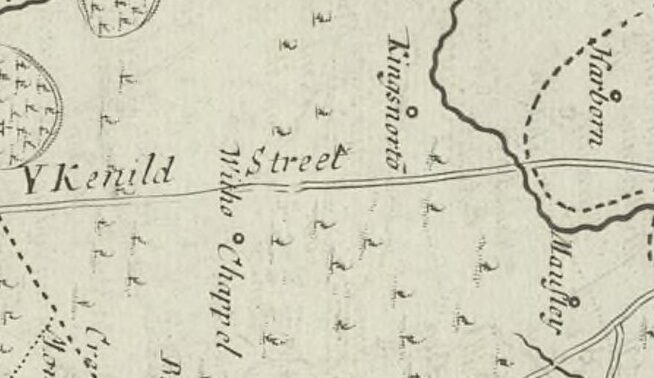
The old name for Stirchley was Strutley Street. The “ley” part usually refers to a clearing and the “Strut” part usually relates to a street, and a Roman street at that, so Stirchley was a clearing by a road. Why Stirchley was named twice though – clearing-by-the-street street – is unknown. Maybe it was to reinforce that there was a road here, for anyone who hadn’t noticed. And there definitely was, and still is, a very straight road which leads from …

As part of our ‘love your library’ celebrations we’d love to hear what the library means to you and your special memories of Stirchley Library. You can share your thoughts and memories with us via the comments form here.
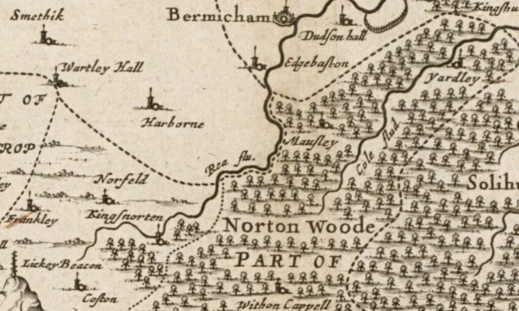
Stirchley is only a relatively recent addition to any map of the area. The earliest known map showing Stirchley as a distinct place is from 1814 (see below), where it’s spelt “Straitland Street”, and there was (and is) an incredibly straight piece of road which leads from the settlement of “Straitland Street” down to Breedon Cross. This road is thought, with some debate, to be a section of the Roman road of Icknield or Ryknield Street.
An early …
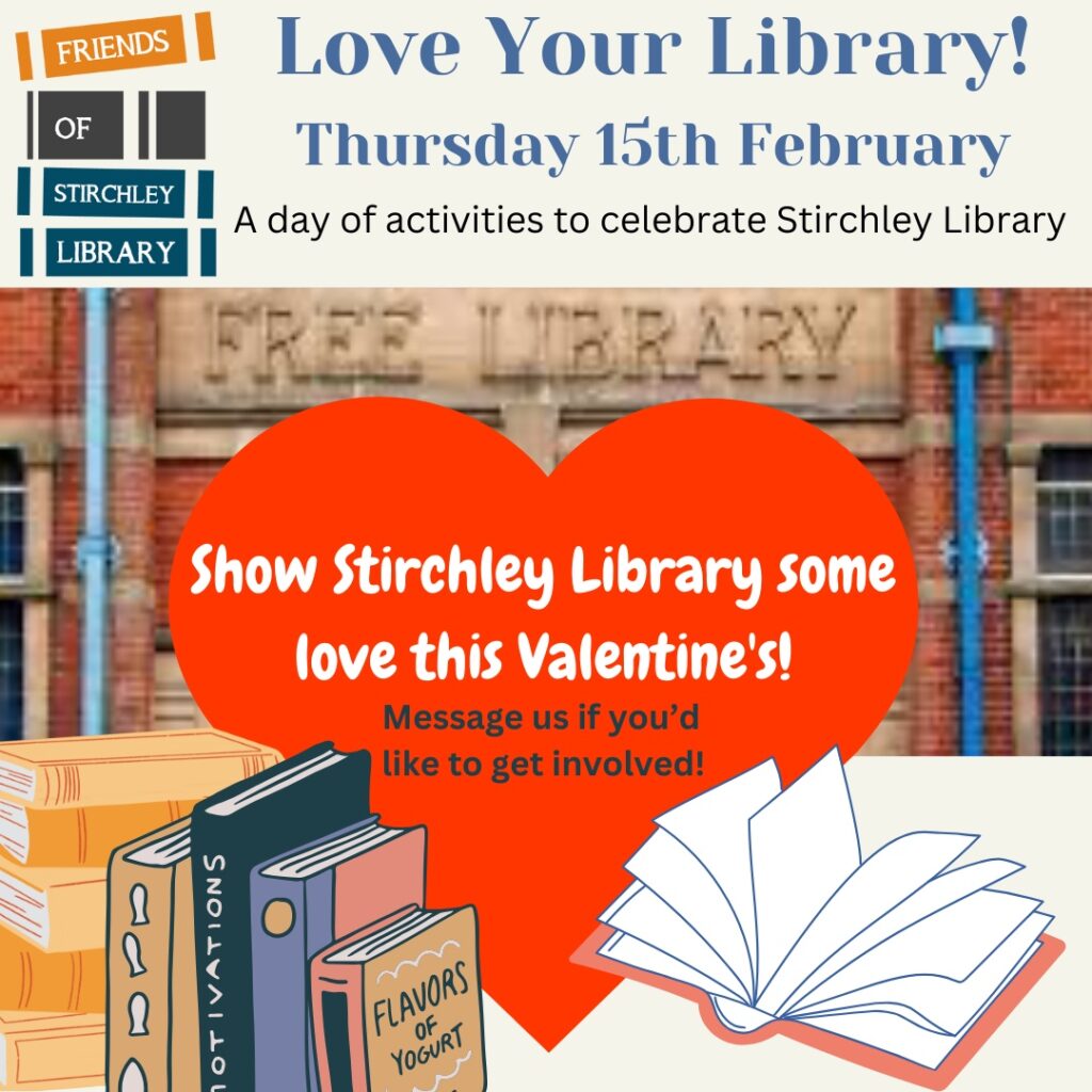
Save the date! This half term on Thursday 15th February Friends of Stirchley Library will be showing our wonderful Stirchley Library some love with a day of activities, including a storytelling and craft activity from Stirchley Art Room in the afternoon. More details to follow. We’re still building and planning the day, so if you would like to get involved please get in touch!